
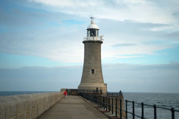
England’s Coast to Coast walk begins with a view of the Irish Sea and ends at the North Sea, but the real appeal lies between them: high Lakeland passes, stone-built Dales villages, quiet farmland and wide Yorkshire moors. This coast to coast walk guide focuses on the decisions that make the journey manageable, especially how to divide the distance into days you can genuinely enjoy.
Inspired by Alfred Wainwright’s cross-country walk, the Coast to Coast Path became an official National Trail in March 2026. The recognised route runs approximately 190 miles (306km) from St Bees in Cumbria to Robin Hood’s Bay in North Yorkshire, crossing three national parks. It is a rewarding trek, not a continuous easy footpath.
Understand the Coast to Coast Route Before Booking
Most walkers travel west to east, traditionally beginning with the cliffs of St Bees Head and finishing at the beach in Robin Hood’s Bay. This direction generally puts the prevailing wind behind you, although there is nothing stopping an east-to-west journey.
The west is physically demanding. In the Lake District, rocky tracks, steep climbs and long descents can make a relatively short mileage day feel exhausting. The Yorkshire Dales bring limestone paths and Swaledale scenery; the Vale of Mowbray offers gentler fields and lanes. The Cleveland Hills and North York Moors then introduce fresh climbing before the final coastal descent.
National Trail signs have improved, but waymarking is not continuous on the higher Lake District fells. Treat a reliable map as essential, not optional. The official National Trails route map and downloadable GPX are sensible starting points, and temporary diversions take priority over an old guidebook.
How Many Days Do You Need?
Official guidance suggests around 13 walking days plus a rest day. Many people prefer 14 to 16 walking days, particularly on a first long-distance trip. Average mileage alone can mislead: 15 miles over steep, wet ground may take longer than 20 miles across farmland.
Build your itinerary around ascent, descent, accommodation and daylight, rather than dividing 190 by an ambitious daily target. Add a rest day if you want time for sightseeing or a buffer for difficult weather. Richmond is a practical candidate because it has more services than many small settlements.
Example Coast to Coast Walk Stages
There is no single compulsory set of overnight stops. A useful planning framework is to group the journey into landscape-based sections and then split the harder ones:
St Bees to Ennerdale Bridge provides a coastal beginning before the fells. Ennerdale Bridge to Rosthwaite takes you through a remote valley and over Black Sail Pass. From Rosthwaite, many itineraries pause around Grasmere before continuing to Patterdale. Patterdale to Shap involves tough climbing near Kidsty Pike and a long stretch beside Haweswater.
Beyond Shap, the route continues through Kirkby Stephen, Nine Standards Rigg, Keld, Reeth and Richmond. It then crosses the Vale of Mowbray toward Ingleby Cross, climbs the Cleveland Hills, passes across open moorland toward Glaisdale and Grosmont, and eventually reaches Robin Hood’s Bay.
These are geographical checkpoints, not a promise that each gap suits one day. For example, a walker planning Rosthwaite to Patterdale as one stage could shorten it with an overnight stay near Grasmere. That single decision can make the next morning’s climb less hurried.
Choosing Accommodation and Baggage Options
A coast to coast walking holiday can involve B&Bs, inns, guesthouses, hostels and occasional camping. Availability varies sharply between villages, and some trail sections have very few nearby beds. Book the smaller stopping points early, especially for weekends and popular spring or summer dates.
Self-guided holiday companies may arrange accommodation, daily baggage transfers and sometimes transfers between the trail and your lodging. Independent walkers can also book some luggage services separately. Either approach works; compare the total cost, baggage limits, pickup rules and what happens if you change your itinerary.
Coast to Coast Packing for Real Conditions
Pack for rapidly changing northern English weather, even in summer. Breathable waterproof layers and footwear already tested over distance matter more than buying a long list of gadgets just before departure.
A sensible daily kit includes waterproof jacket and trousers, insulating layer, spare socks, food, drinking water, basic first aid, blister supplies, charged phone, power bank, headtorch, whistle, and paper map with compass. Walking poles can help on steep descents if you are accustomed to them.
Navigation, Safety and Route Alternatives
Download offline mapping, but practise reading contours and using a compass. Signal and battery life can fail precisely where you need reassurance. Check the mountain forecast each morning, tell someone your planned finish point and allow extra time after heavy rain.
Some choices on the coast to coast route depend on conditions and preference. Between Keld and Reeth, walkers can choose higher ground associated with historic lead mining or a lower-level Swaledale route. Near Nine Standards Rigg, seasonal route management helps protect vulnerable ground; follow current signs and official guidance.
A particularly important modern detail is the A19: the official route uses a diversion via the bridge near East Rounton rather than a direct crossing near Ingleby Arncliffe. Do not assume an older map or downloaded track reflects every safety change.
Train for the Trip You Have Planned
Preparation should imitate the route, not just increase weekly step counts. Walk on uneven ground, practise sustained climbs and descents, and schedule two longer walks on consecutive days. This reveals how your feet, knees and energy levels respond when recovery is limited.
Try one rehearsal day with the full weight you intend to carry, in the footwear you will use. Work out your realistic pace, including stops, and adjust bookings if the numbers do not fit. A multi-day walking training plan can help structure those practice weekends without overdoing the final week.
Frequently Asked Questions
How long is the Coast to Coast walk?
The official Coast to Coast Path is approximately 190 miles (306km). Your recorded distance may differ because of accommodation detours, alternative routes or temporary diversions.
Is the Coast to Coast suitable for beginners?
It can be a first multi-day trek for a fit walker who has trained on hills, practised navigation and chosen realistic stages. The mountainous western sections are not ideal as someone’s first experience of rough terrain.
What is the best time of year to walk it?
Late spring through early autumn usually offers longer daylight and more comfortable conditions, but rain, wind and low visibility are possible at any time. Winter demands stronger navigation skills and experience of mountain conditions.
Can I complete only part of the route?
Yes. The National Trail can be enjoyed in sections. A shorter trip through Swaledale or the North York Moors gives a flavour of the journey without requiring two weeks away.
Make the Route Fit Your Pace
The best itinerary is not necessarily the fastest. Choose stages that reflect the terrain, secure accommodation in smaller villages, keep your navigation current and leave enough energy to appreciate the places between the coasts. With those details settled, the walk becomes much more than a mileage target: it becomes a journey across some of northern England’s most varied landscapes.